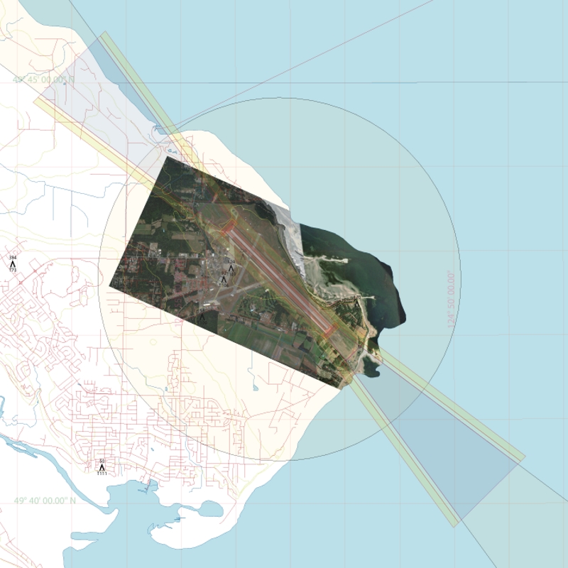
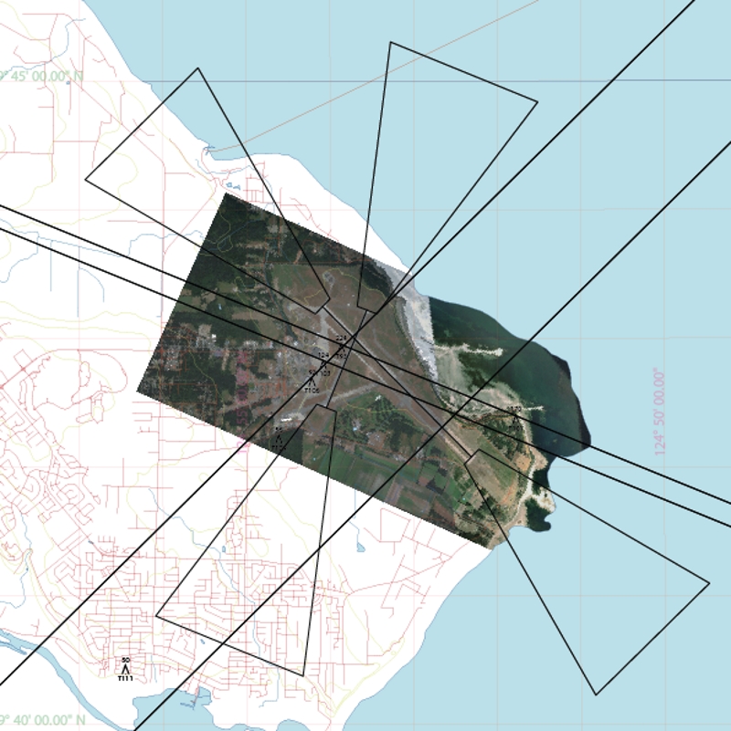
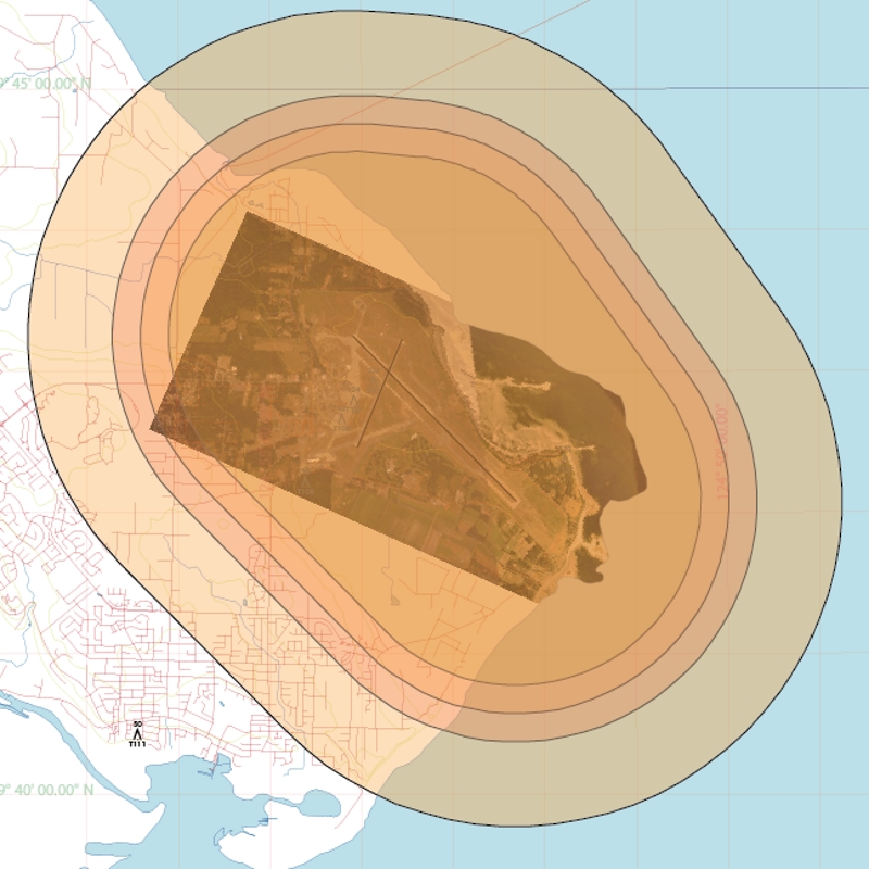
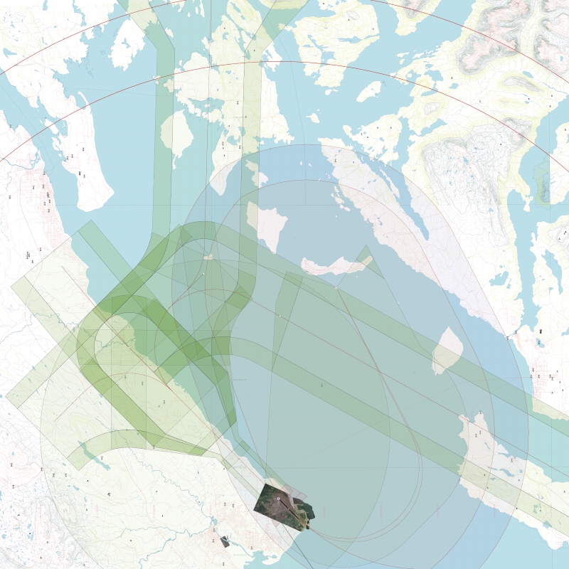
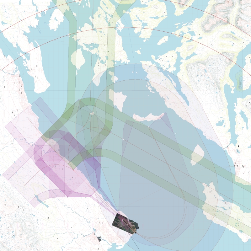
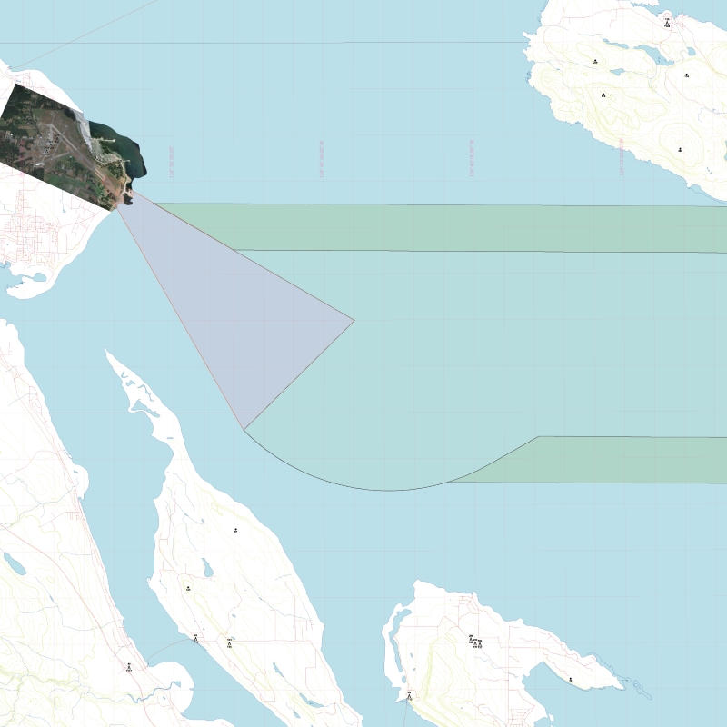
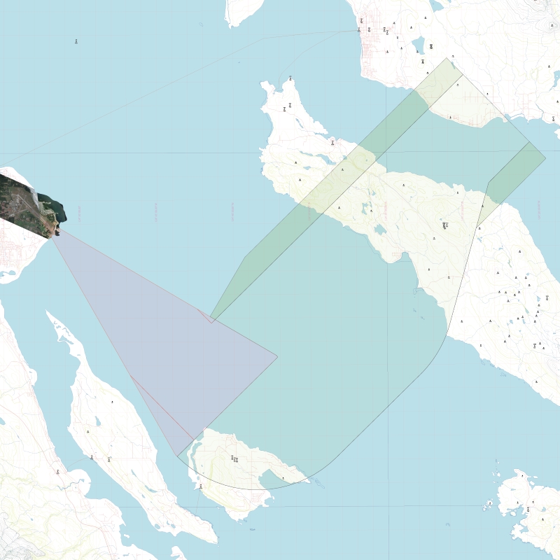
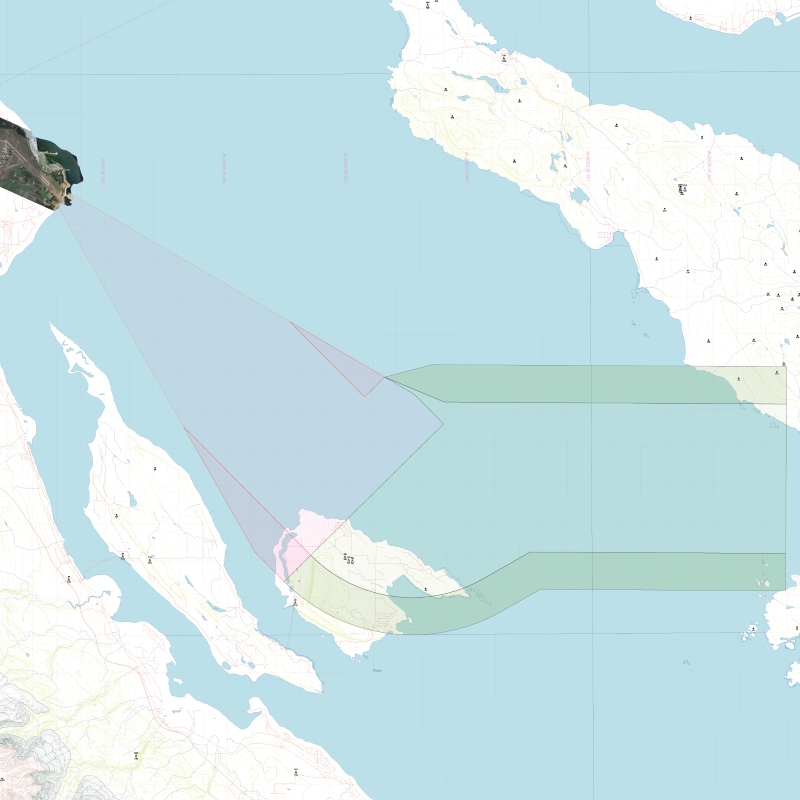
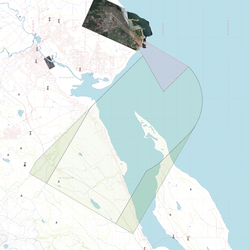
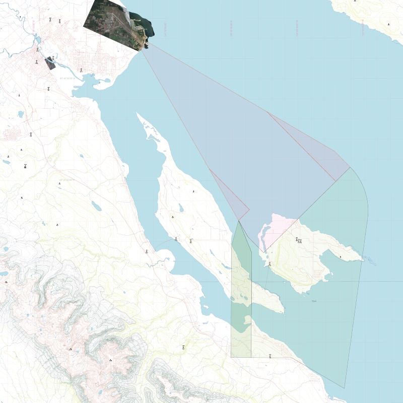
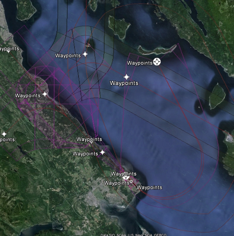
Instrument Procedure Design Georeferenced XML Products

Below are a number of examples of Excel ® based, IPD XML layers produced by FlightLines Design custom coded software. Airspace XML layers are coded in WGS84 and imported into client mapping tools for obstacle assessment.

Dave Miller  President FlightLines Design Inc.

 
Thumbnail Image 1

TP312 5th Edition

Runway Safety Areas, Stopways and Obstacle Limitation Surfaces (OSL)

Thumbnail Image 1

Diverse Departure

IFR Diverse Departure assessment Zone 1, 2 and 3

Thumbnail Image 1

Circling Areas

Instrument Approach Circling Areas and Visual Climb over Airport Areas.

Thumbnail Image 1

LNAV Approach

FAAO 8260.58 Lateral Navigation (LNAV) Approach (LNAV/VNAV also available), Waypoints, Feeder Routes, MSA, Missed Approach and Hold areas.

Thumbnail Image 1

LPV Approach

FAAO 8260.58 Localizer Performance with Vertical Guidance (LPV) Approach (LP also available), Waypoints, Feeder Routes, MSA, Missed Approach and Hold areas.

Thumbnail Image 1

RNAV Departure

8260.58 Vol 3 RNAV Departure Procedure example.

Thumbnail Image 1

RNAV Departure

8260.58 Vol 3 RNAV Departure Procedure example.

Thumbnail Image 1

RNAV Departure

8260.58 Vol 3 RNAV Departure Procedure example.

Thumbnail Image 1

RNAV Departure

8260.58 Vol 3 RNAV Departure Procedure example.

Thumbnail Image 1

RNAV Departure

8260.58 Vol 3 RNAV Departure Procedure example.

Thumbnail Image 1

KMZ/KML File Export

Circling and OLS overlay KMZ Export.

Thumbnail Image 1

KMZ/KML File Export

Feeder, LPV Initial to Final, Missed Approach and Hold KMZ Export.